
BIB100
The first 100 ride free.After that, the tickets below.
Pick a ticket
One paymentNo subscription. If it lets you down on the hill, tell us and we refund you.
Practice copy: payment is not switched on yet. Nothing has been charged.
On the hill
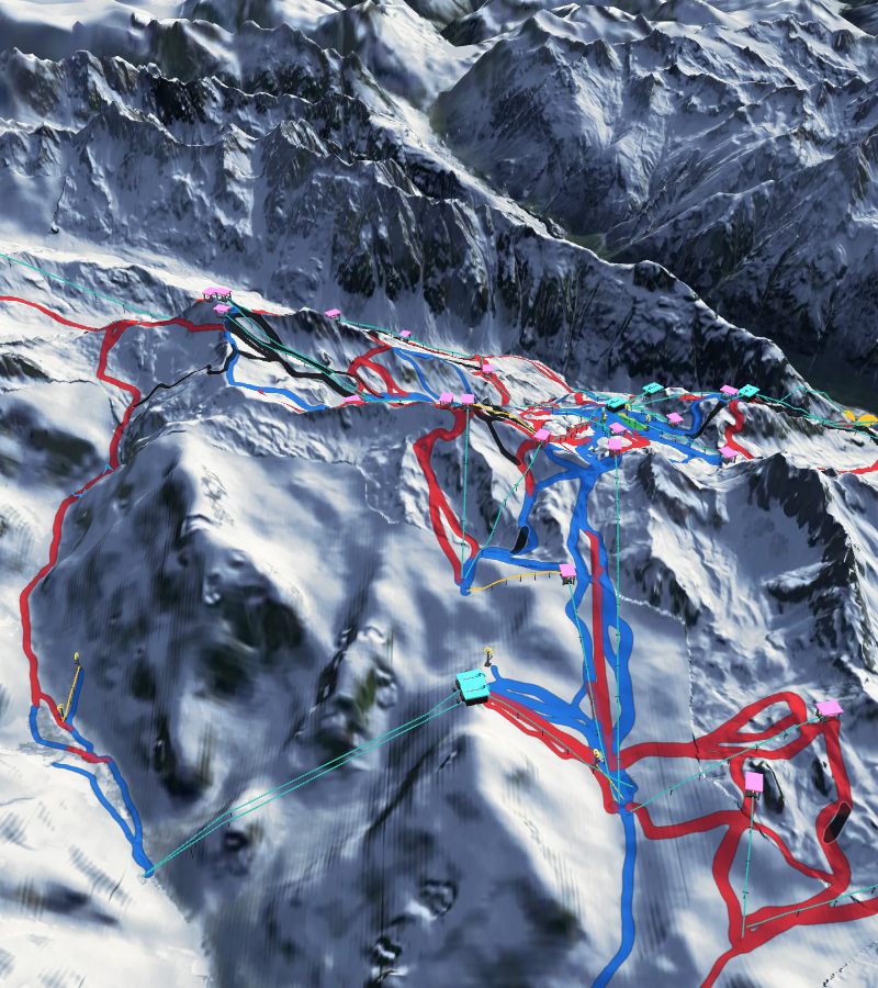
01Every lift and runDrawn on the real shape of the mountain, coloured by difficulty.
02Spoken turnsPick where you are heading. It works out the lifts and runs and speaks each turn.
03Pocket modeThe screen stays dark while it talks.
04Call for helpEmergency numbers, your position and your what3words, one tap away.
05No signal neededSaved on your phone once, it opens with no signal.
The Ischgl piste map
A 3D piste map of Ischgl, Tirol, Austria, drawn on the real shape of the mountain. Its Sat Nav covers 42 lifts (4 gondolas, 3 cable cars, 25 chairlifts, 7 surface lifts and 3 magic carpets) and 96 runs with a name or number: 26 blue, 52 red and 18 black.
Its network reaches from about 2,860 m at the highest point down to about 1,350 m. It can route you to Ischgl and Samnaun.
These numbers are counted from the map's own data (OpenStreetMap and terrain heights), so they can differ from the resort's own figures.